Welcome toMicroAerialProjects,your source for Innovative Geospatial Solutions and Services!
With our extensive international experience and expertise in surveying and mapping, we employ common sense and state of the art technology to develop optimized solutions for a wide variety of geospatial challenges anywhere in the world. Covering workflows from raw field observations and measurements to final analysis and quality assessments, our approach aims at ensuring success through appropriate techniques, standards and outcomes.
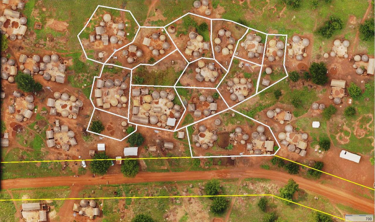
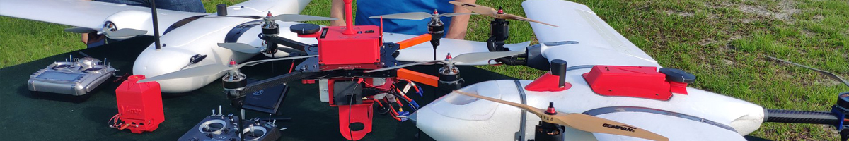
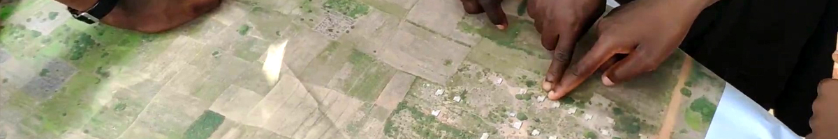
We offer training and capacity development in global navigation satellite systems (GNSS) surveying, assembly, tuning and operations of unmanned aerial vehicles (UAV), structure from motion (SfM) modeling techniques and geospatial operational management to develop viable mapping enterprises anywhere in the world.
We are also available to carry out your geo-spatial projects as needed or to complement your existing capacities.
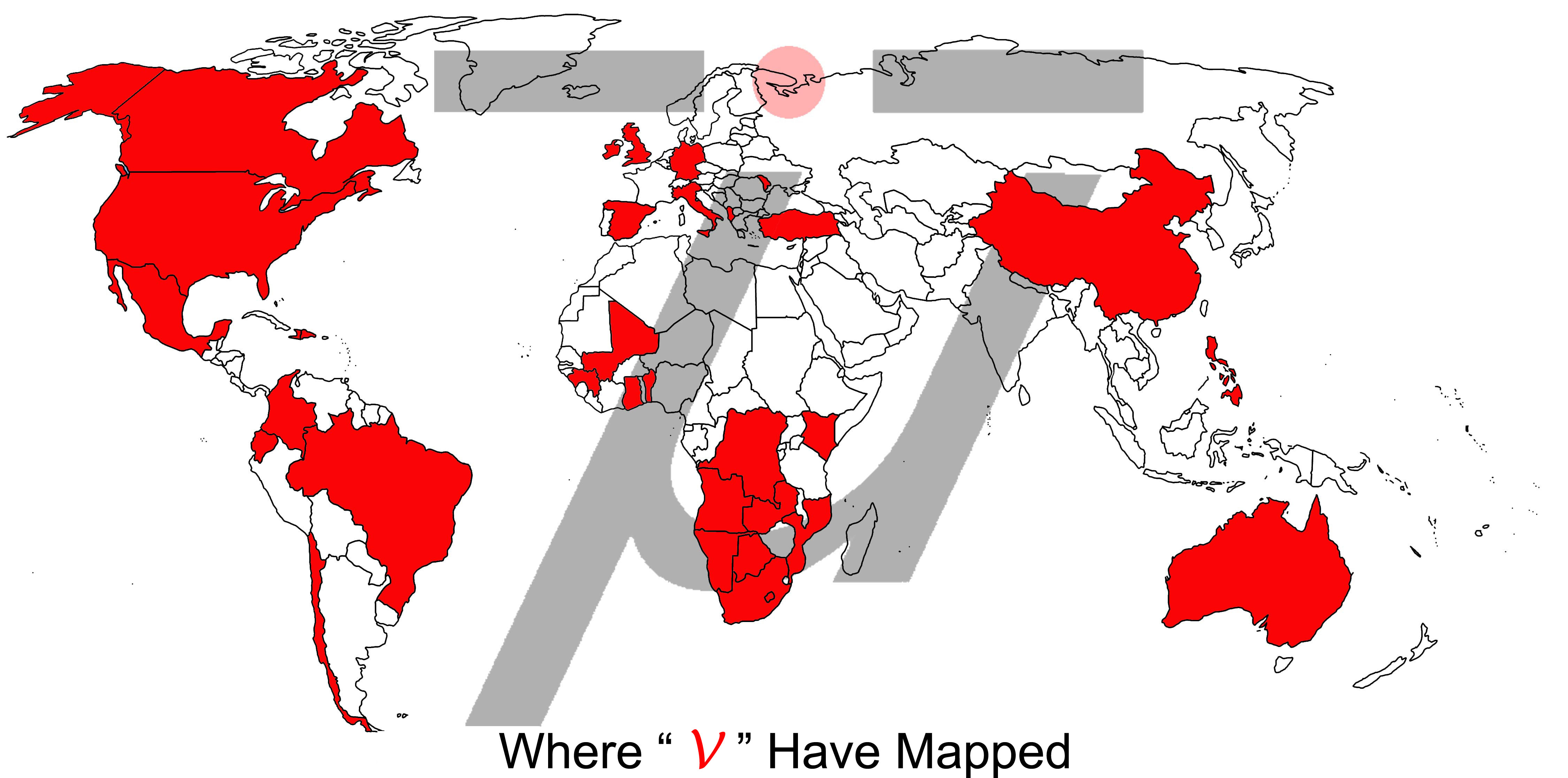
Some of our clients include the World Bank, United Nations FAO, Omidyar Group, The Asia Foundation (TAF), Foundation for Economic Freedom, Millenium Challenge Corporation, Development Alternatives Incorporated (DAI), Barrick Gold, Texas A&M, Rutgers University, Idaho State University, University of Florida, University of South Florida, University of Central Florida, University of North Texas, University of California Riverside, NV5 and Solar Impact.
We offer a wide variety ofservices, excited in the belief that the possibilities are endless….
Pleasecontact usfor further information about getting your projects off the ground – safely and intelligently.