Micro Aerial Projects third World Bank Conference Three years ago (2013), Micro Aerial Projects L.L.C. first attended the World Bank Conference on Land and Poverty giving a paper with Dr. Grenville Barnes of the University of Florida and Kevin Barthel of the Land Alliance titled “Using Unmanned Aerial Vehicles (UAVs) to democratize spatial data production: […]
Continue readingMonthly Archives: March 2015
MICRO AERIAL PROJECTS OFFERING MASTER CLASS AT ANNUAL WORLD BANK CONFERENCE IN WASHINGTON, D.C. MARCH 27
We are busy with final preparations for our participation at the Innovation Fair of this year’s annual Land and Poverty Conference organized by the World Bank in Washington DC where we will also be hosting a Master Class. High Resolution Mapping With Small Unmanned Aerial Vehicles (UAVS) March 27, 2015, 09h00-10h30 1818 H Street NW […]
Continue reading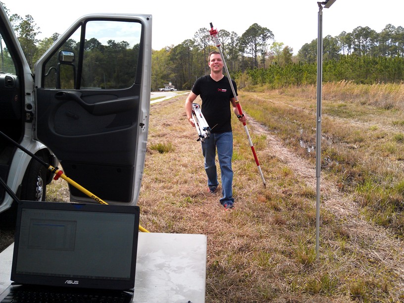
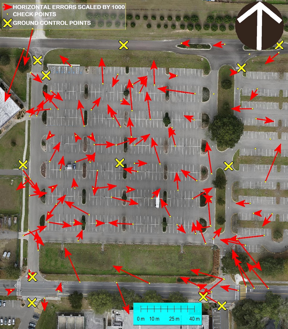
The V-Map System in Action
It takes more than drones to make high quality maps. Using our dual frequency ultra-fast (20Hz) ultra-light (130g) V-Map system we can very quickly determine precise coordinates for Ground Control Points as well as Camera Exposure Positions. The V-Map system provides the back-bone to high quality drone mapping. The V-Map System used as […]
Continue reading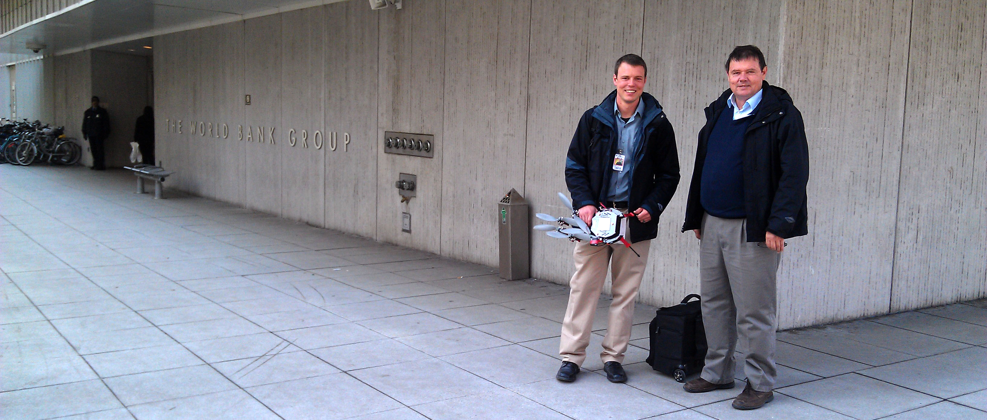
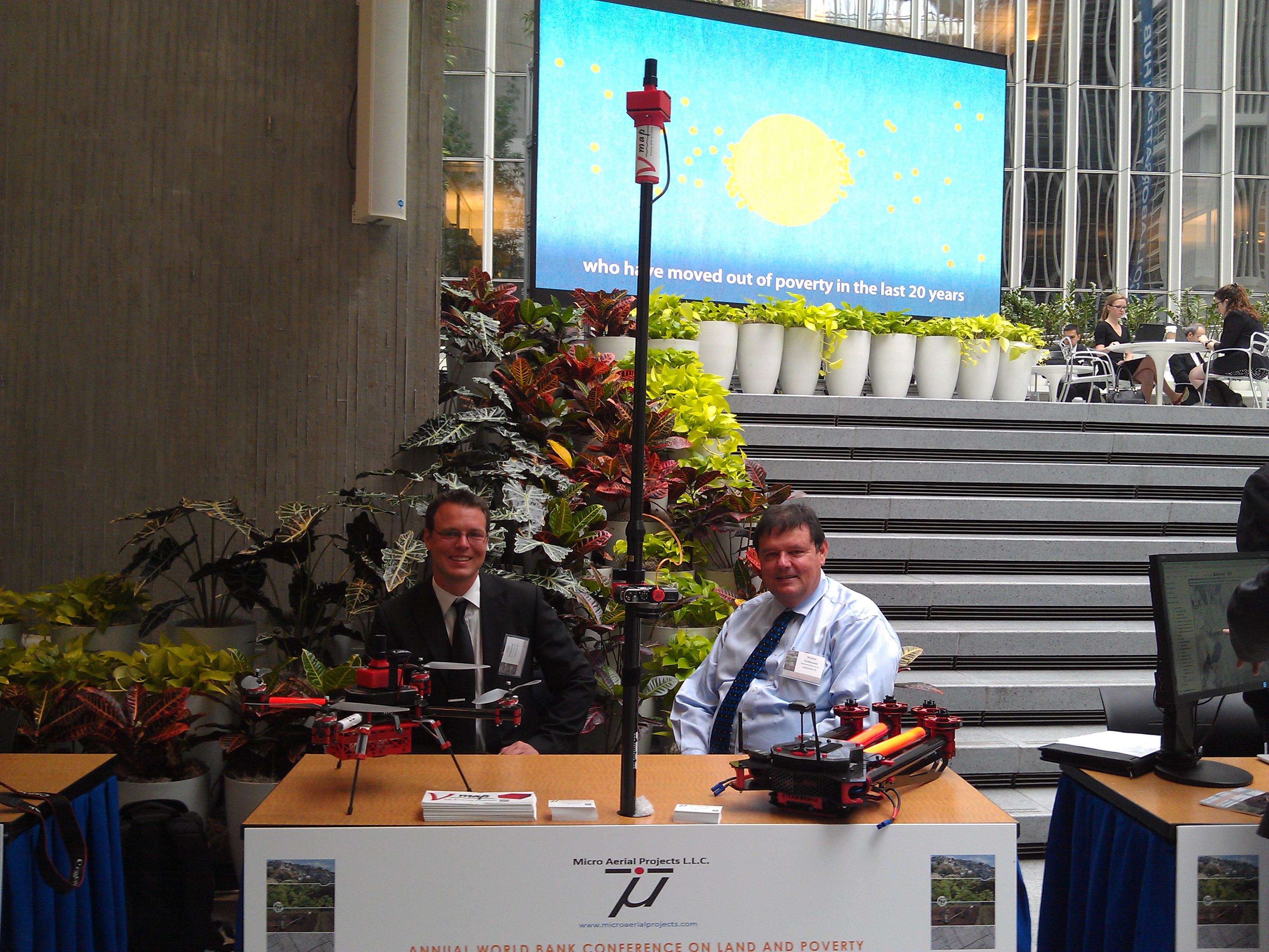
MICRO AERIAL PROJECTS LLC AT WORLD BANK CONFERENCE INNOVATION FAIR
MICRO AERIAL PROJECTS LLC AT WORLD BANK CONFERENCE INNOVATION FAIR We are pleased to be exhibiting at the Innovation Fair of the annual World Bank Conference on Land and Poverty on Thursday, March 26 in Washington DC. Our highly automated and affordable, products and services provide an opportunity to build local small enterprise capacities in aerial […]
Continue reading