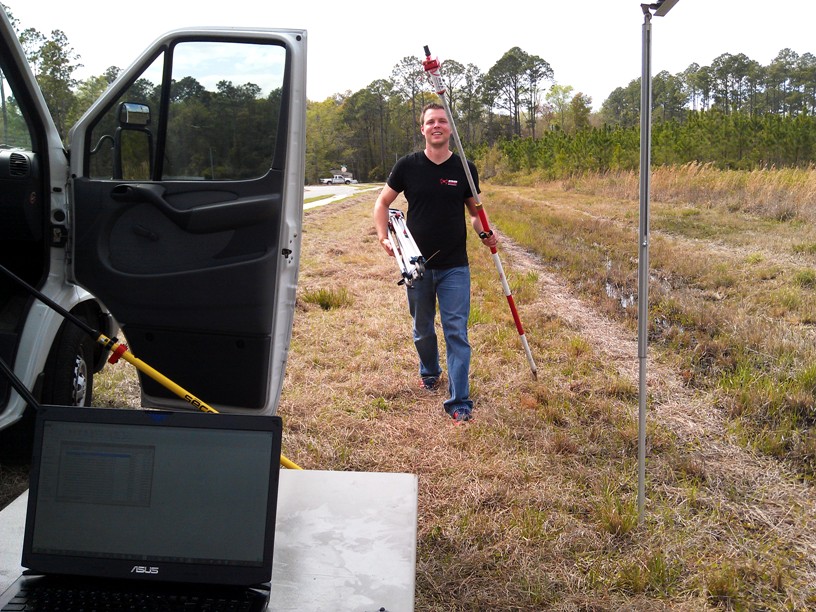
It takes more than drones to make high quality maps. Using our dual frequency ultra-fast (20Hz) ultra-light (130g) V-Map system we can very quickly determine precise coordinates for Ground Control Points as well as Camera Exposure Positions. The V-Map system provides the back-bone to high quality drone mapping. The V-Map System used as […]
Continue reading