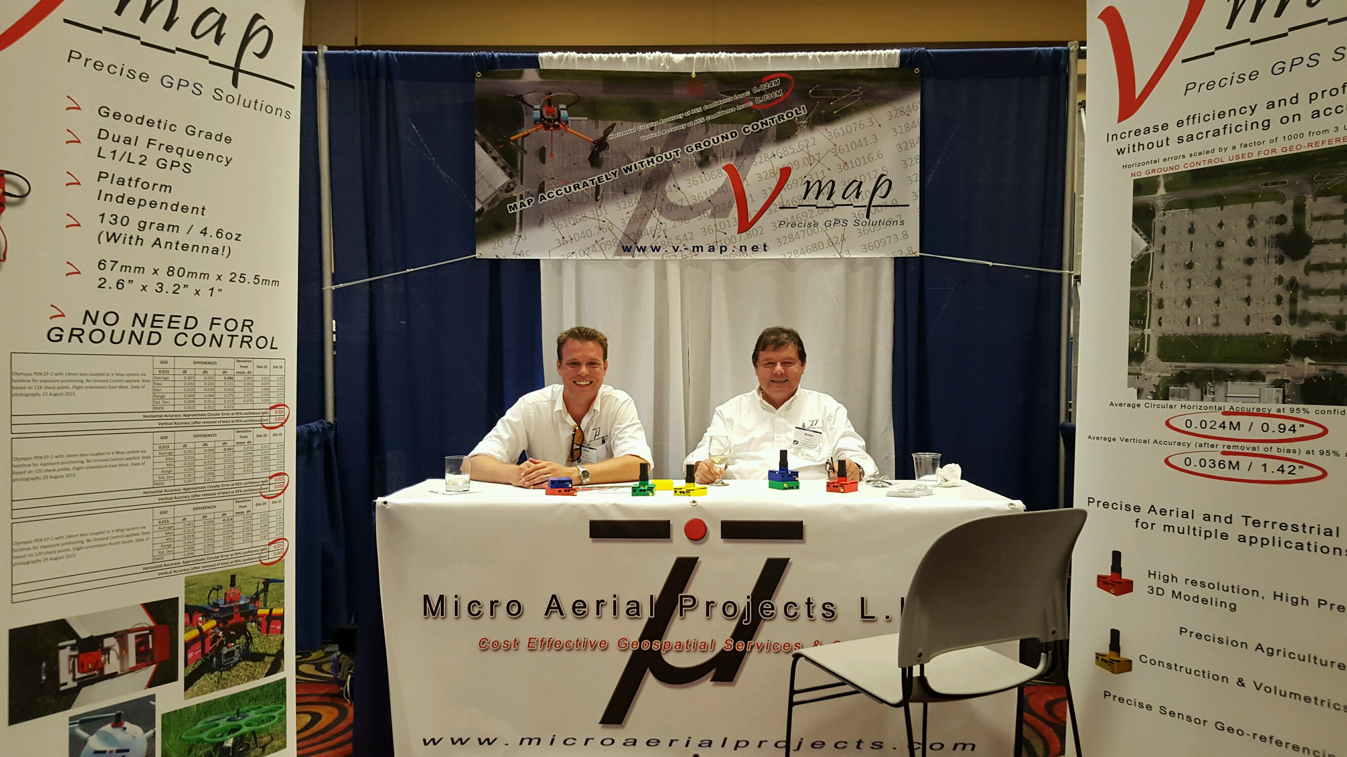
MAPPING WITHOUT GROUND CONTROL: NOW YOU CAN! Micro Aerial Projects L.L.C. is proud to announce that we have officially published our White Paper (Mapping without Ground Control) and launched our V-map System website at www.v-map.net during this years UAS Reno conference. With the V-map system we are able to produce accurate maps from UAV imagery without the […]
Continue readingMonthly Archives: September 2015
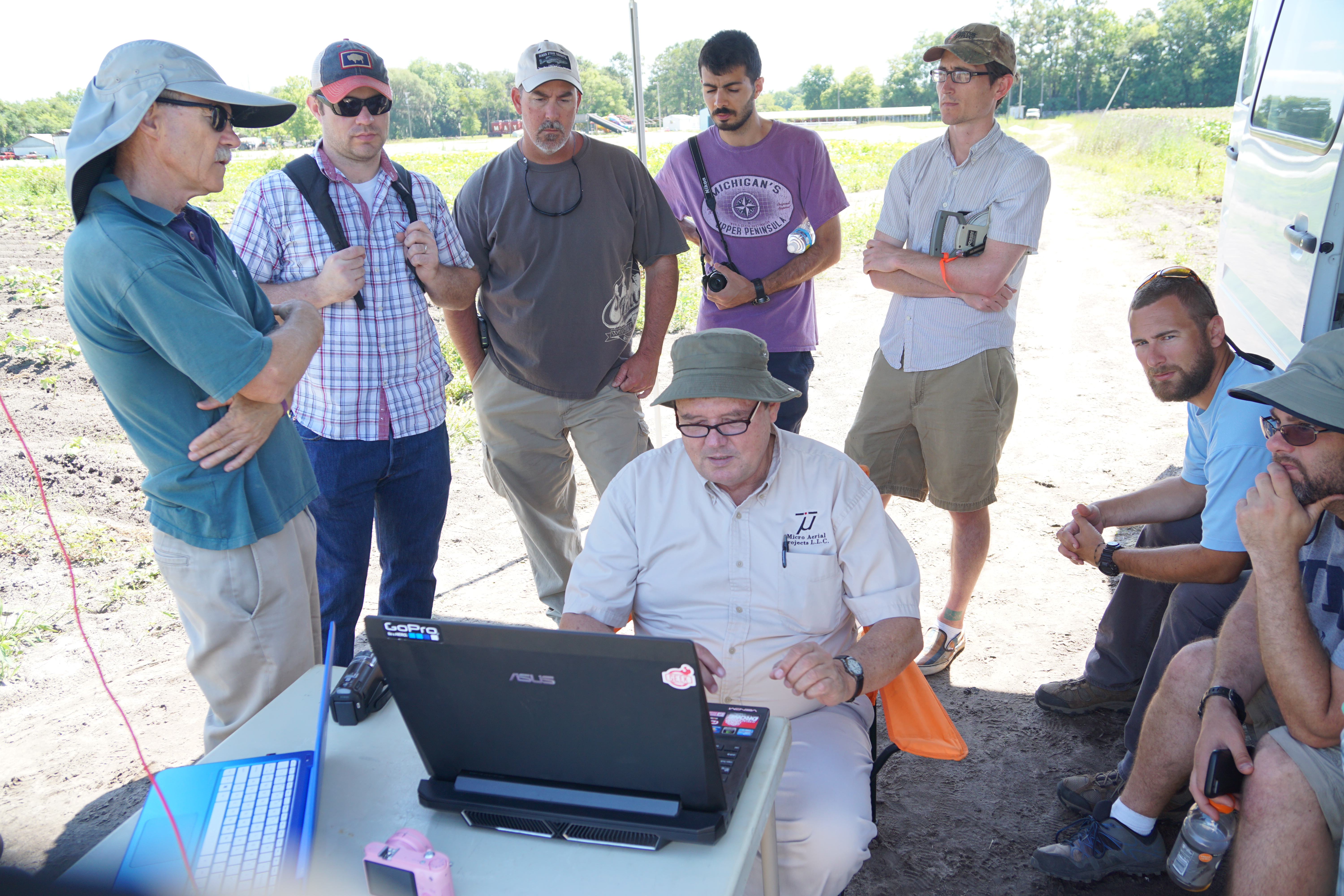
Educating Future Surveyors
Micro Aerial Projects L.L.C. and drone2GIS Inc., (a licensed mapping company based in Gainesville Florida) have partnered over the past few months to assist the University of Florida’s Geomatics department with their UAS Certificate program. This collaboration brings both real world UAS mapping operation experience and decades of Surveying and Mapping experience to help educate future surveyors […]
Continue reading