
Small Drone Cadastral Surveys for Establishment of Property Rights (See mini-documentary below): In April 2016 Micro Aerial Projects L.L.C. participated in the “Technology for Property Rights” project managed by Foundation for Economic Freedom and The Asia Foundation with support from the Omidyar Network. This project aims to introduce sustainable technology which can accelerate the generation of land titles. Currently […]
Continue readingYearly Archives: 2016
Making maps with Small Drones – 5 Steps
Until very recently the acquisition of aerial imagery was very expensive as it could only be done by manned aircraft or satellites equipped with special cameras or sensors. The high safety risks, operational complexity and acquisition and operational costs of these mapping techniques made them completely uneconomic for small projects such as mapping a single village or […]
Continue readingReporting Horizontal Errors in SfM Mapping
Fully appreciating the powerful role played by the Structure from Motion (SfM) technique in the mapping revolution, we understand that embedded in the fiber of an SfM produced map are some very important quality characteristics which, when not specifically disclosed and effectively displayed, will remain hidden to the user of the map. These characteristics can […]
Continue reading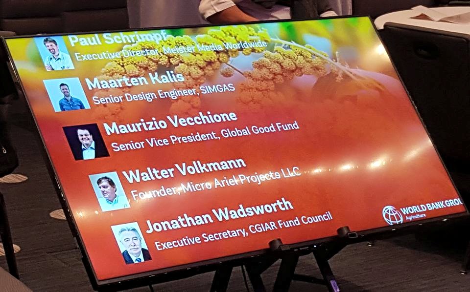
Talking about small drones at the World Bank Forum on Agriculture, 2016
On February 18 at the 2016 World Bank Forum on Agriculture in Washington, D.C. I had the pleasure of sharing the podium with some important people in international development. I talked about small drones and their potential in helping farmers to monitor and manage their crops and animals. And I learned a lot from my […]
Continue reading