
Walter Volkmann (CEO / Micro Aerial Projects L.L.C.) is currently in the Philippines providing Drone Mapping Capacity Development! Beneficiaries of this training include the Foundation for Economic Freedom (FEF), the Department of Environment and Natural Resources (DENR) and various other organizations and individuals. Using drones for mapping increases the efficiency and speed at which actionable data […]
Continue readingCategory Archives: Clients
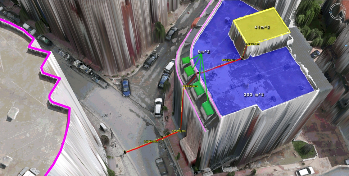
Virtual Surveyor Tools
What to do with those millions of triangles defining the geometry of an Urban Environment? Enter the Virtual Surveyor Tools. An all too often underestimated step in the workflow of a UAV mapping operation is the extraction of features of interest in vector format. Structure from Motion and Lidar give us unprecedented density in point […]
Continue reading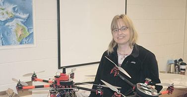
V-Map system at work!
Capital Press has written an interesting article entitled Idaho Drone Project Studies Potato Stress. We are very happy to see how our V-Map system and the drones we configured for Donna and her colleagues at Idaho State University are finding their way to harmless and productive engagements! Back in March we equipped Donna with […]
Continue reading