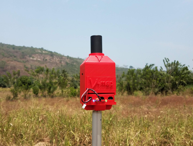
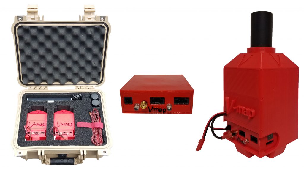
V-Map precision mapping solutions from Micro Aerial Projects LLC are the result of decades of experience in surveying and mapping on projects all over the world. They are tailored to provide practical, cost and time saving support to small or large UAV/SfM mapping enterprises that wish to operate self-sufficiently on or off the grid or internet. With affordability and quality as guiding principles, V-Map solutions address all possible geo-referencing scenarios encountered in UAV/SfM mapping. 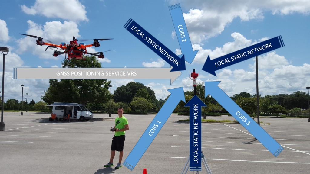
POST PROCESSED STATIC (PPS) GNSS (SUITABLE FOR ONLINE POSITIONING SERVICES) TO DETERMINE ACCURATE REFERENCE STATION COORDINATES
At the heart of all V-Map solutions is always a dual frequency GNSS receiver. It observes and records satellite data for
- precise long range positioning relative to spatial reference frames and
- differential corrections for precise surveying and mapping on site
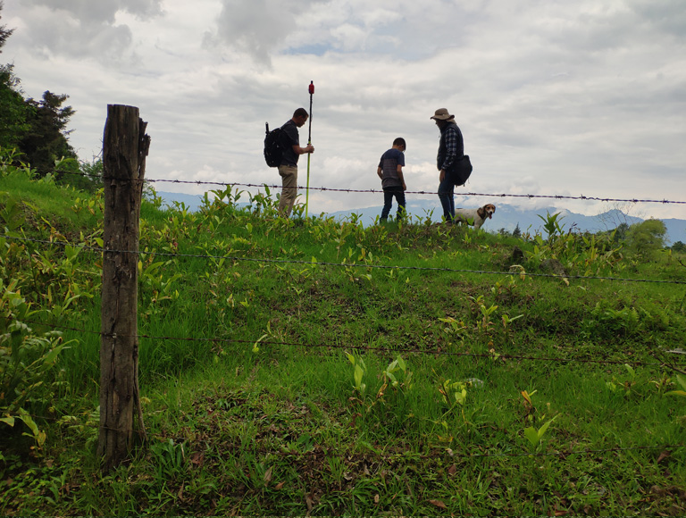
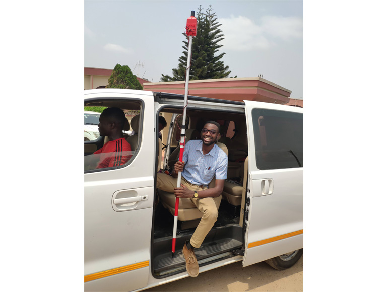
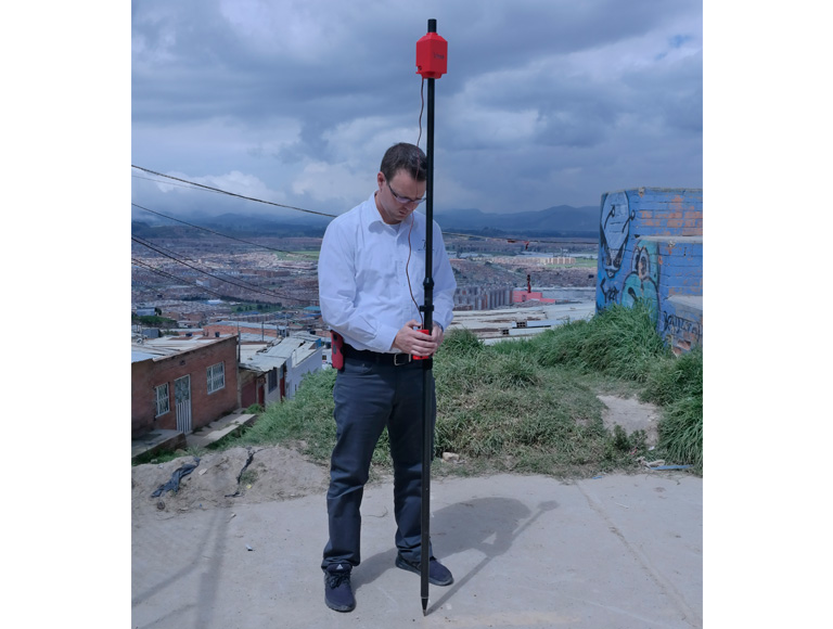
ON-THE-SURVEY-POLE PPK GNSS SURVEYING OF GROUND CONTROL POINTS (GCPs)
Use the V-Map Air receiver with your camera to survey your GCPs and check points in classic rover fashion. Simply mount the V-Map Air receiver and your camera on a survey pole, occupy your GCP, center the bubble, take a picture and off you go to the next GCP or check point. No need to occupy for longer than it takes to press the button on your camera. At the end of your survey, download the V-Map Air and reference station observations (you can use your own GNSS receiver, a virtual reference station (VRS) or a second V-Map receiver to obtain reference observations) and compute precise coordinates using our free, easy to use CamPos software. 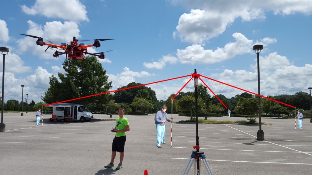
AUTOMATIC AERIAL PPK GNSS SURVEYING TO DETERMINE ACCURATE CAMERA EXPOSURE POSITIONS (CEPs)
Use the V-Map Air receiver on the drone of your choice with a compatible camera* to determine accurate camera CEPs automatically. After your flight, download the V-Map Air and reference observations (you can use your own GNSS receiver, a virtual reference station (VRS) or a second V-Map receiver to obtain reference observations) and employ our free, easy to use CamPos software to compute accurate image coordinates for input to your SfM workflow. *Camera must have an external hot shoe adapter and produce a pulse at the moment of exposure. 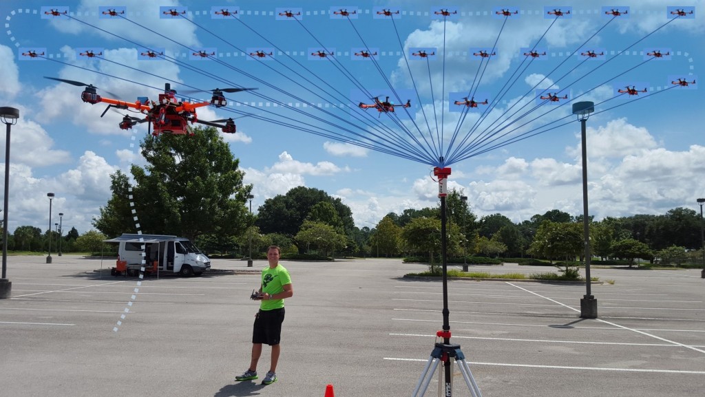
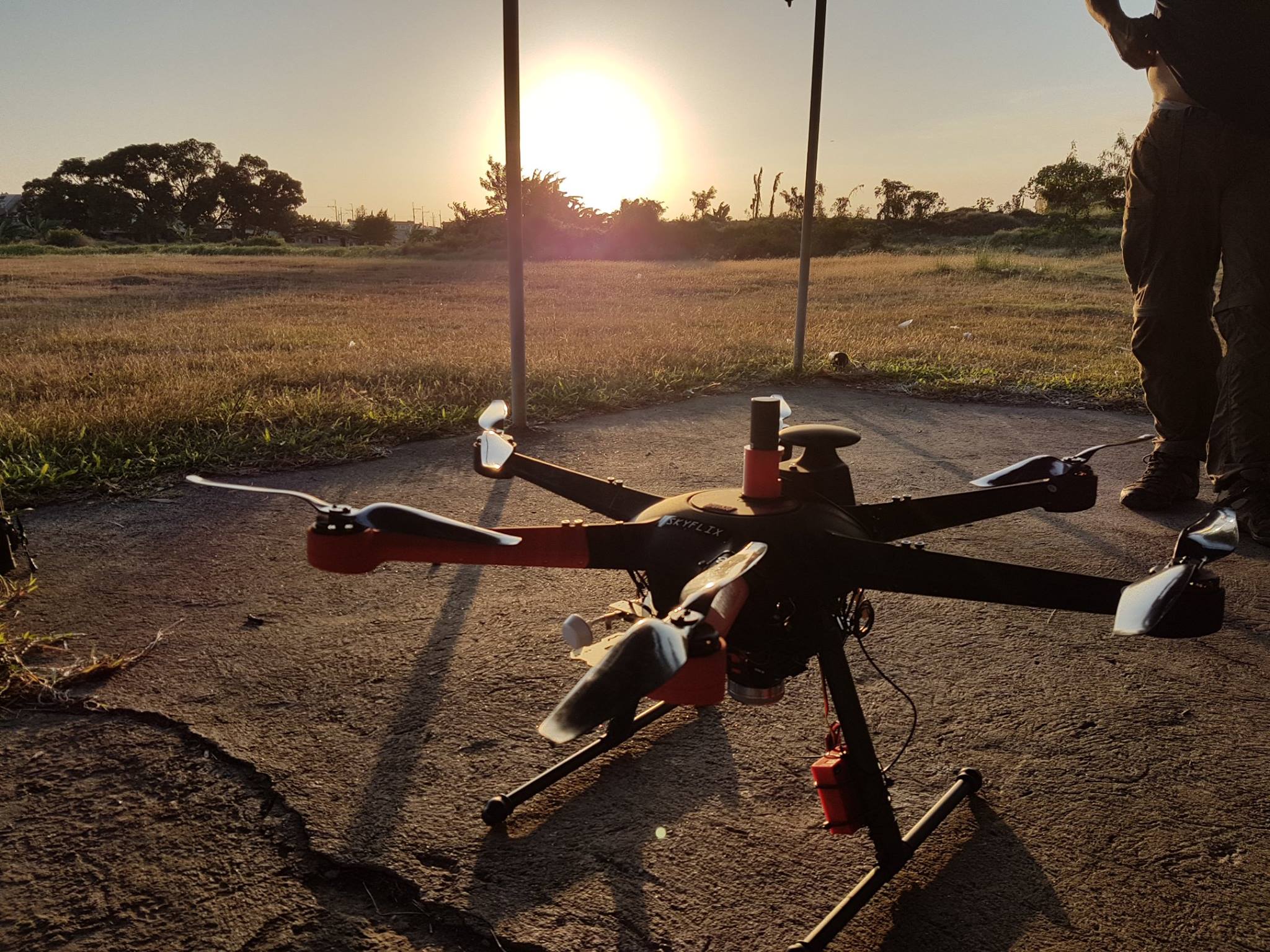
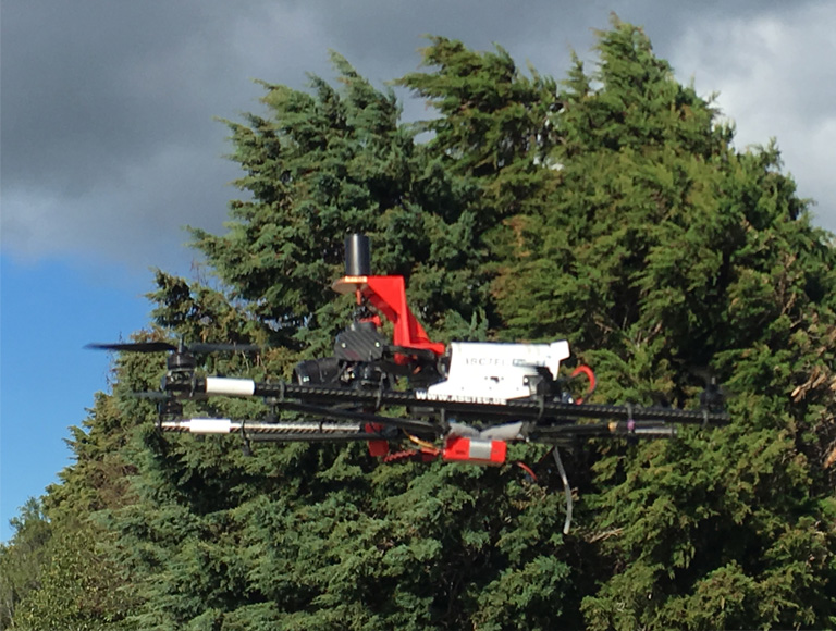
Platform Independence, from Drone to Rod