
Accuracy for All: Community Land Mapping and the Navigation Satellite Revolution Join us tomorrow, December 5th 2018 at 12:30PM Eastern Standard Time for a panel discussion on the democratization of property surveying through the developing world. Thanks to advances in technology and the ever improving accuracy of satellite navigation in mobile devices, more people are able […]
Continue readingYearly Archives: 2018
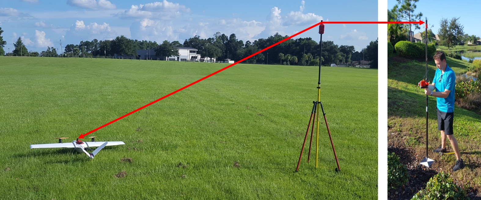
GNSS Basics for Beginners in Drone Mapping
GNSS Basics for Beginners in Drone Mapping I think it is fair to assume that a significant number of drone owners have very little grasp of the importance of, and the role that Global Navigation Satellite Systems (GNSS) are playing in assisted flight and automated navigation. The reliability of orientation sensors, GNSS, powerful computers […]
Continue reading