GNSS Basics for Beginners in Drone Mapping
I think it is fair to assume that a significant number of drone owners have very little grasp of the importance of, and the role that Global Navigation Satellite Systems (GNSS) are playing in assisted flight and automated navigation. The reliability of orientation sensors, GNSS, powerful computers and software make it just so easy to launch and fly that one can understand why drone enthusiasm is thriving despite often very superficial knowledge levels of what it takes technically to enjoy the ease and power of switches and joysticks. Add to this drone technology the availability of extremely sophisticated, user-friendly and affordable software employing the structure from motion (SfM) modeling technique and one can understand the rapidly growing confidence of novice “drone mappers” – amateurs and professionals alike – who are aggressively entering a market that was until less than a decade ago the exclusive domain of well capitalized, highly skilled enterprises. Hence the relentless progress in technology and automation is indeed democratizing and disrupting what used to be a highly specialized field. Given the right level of knowledge, the making of accurate maps with PPK GNSS supported SfM techniques from drone acquired aerial images presents new opportunities to improve efficiencies and profitability in the geospatial production market.
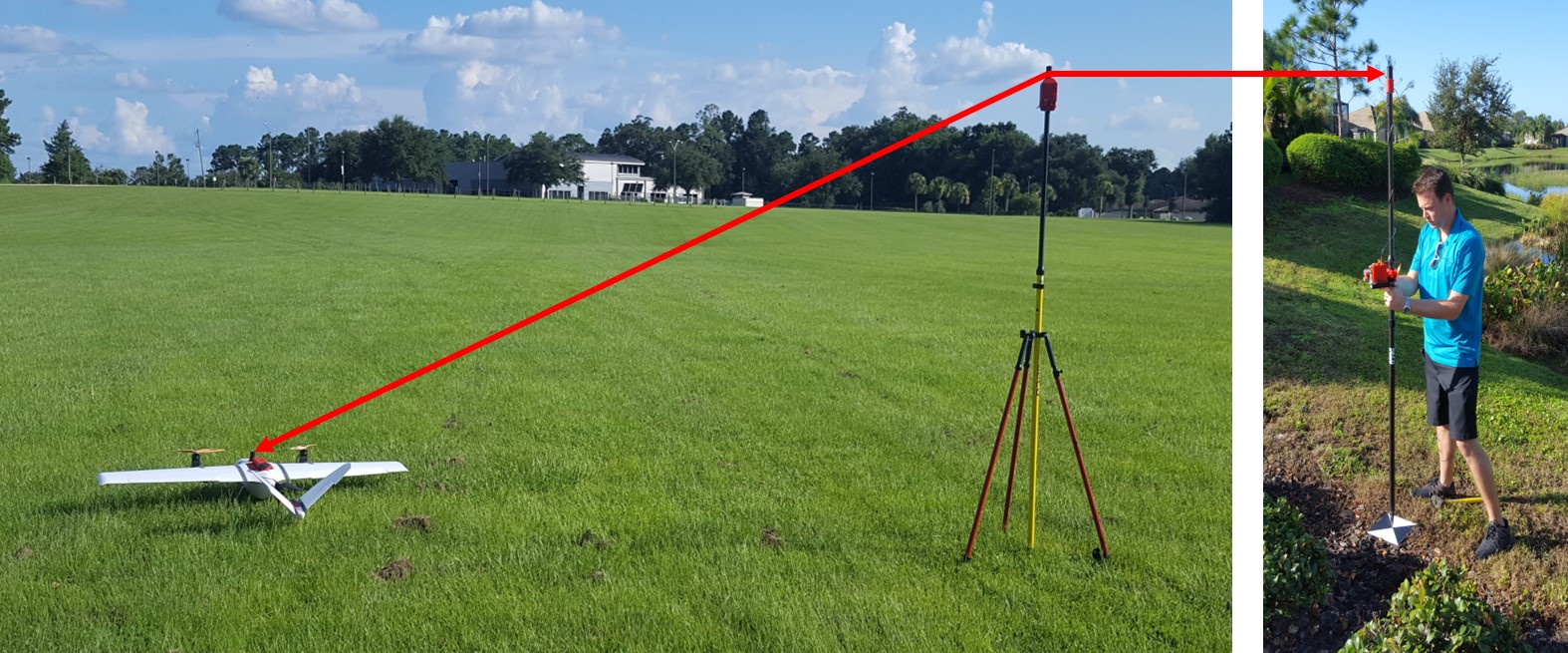
The raw ingredients in SfM mapping are firstly areal images and secondly, coordinates of Ground Control Points (GCPs) and/or Camera Exposure Positions (CEPs). While the SfM technique produces high resolution and high-quality models from images, spatial inputs in the form of GCP and/or CEP coordinates are needed to correctly place, orient and scale (i.e. geo-reference) the model before we can call it a map. And since GNSS is the most efficient and convenient resource to provide this spatial input, it seems useful, if not advisable, to understand the practical and theoretical characteristics of GNSS applications in drone mapping. The practice of determining accurate coordinates of GCPs and CEPs relies on the use of differential GNSS – a GNSS positioning technique that distinctly differs from navigational GNSS such as that employed in car navigation and automatic drone flights.
Correctly applying the technique of differential GNSS to SfM mapping is not as straight forward as entering an address into the “GPS navigator” of your car and pressing GO or waiting until your drone flashes the green light before arming motors and flicking the take-off switch. For one, the friendly and reassuring voice guiding you from turn to turn or reporting telemetric data from waypoint to waypoint is not available as you plan and execute a mapping project with the SfM technique.
We, the providers of the V-Map solution in PPK supported SfM mapping, often get asked to explain “in simple language” why and how we use differential GNSS (PPK or RTK) in our drone mapping work. Considering the many options and the aggressive, often confusing marketing language around GNSS topics, it is hoped that these notes will help the prospective drone mapper to make informed decisions on the use and appropriateness of GNSS technology in drone surveying and mapping operations. This is not meant to be an academic treatise of the topic, but rather a collegial sharing of insights from one practitioner to another.
For the full text of these notes, see GNSS FOR THE DRONE MAPPER
Walter Volkmann, Micro Aerial Projects, Gainesville, Florida, USA