UAV Agricultural & Environmental Monitoring anywhere in the world with Micro Aerial Projects and the V-Map System

Small UAVs offer a timely and cost effective means of collecting high resolution data of particular use to agricultural and environmental assessment and monitoring. A combination of the ability to fly safely at a lower altitude, flexibility and maneuverability means that inspections can be conducted in areas which can be difficult or hazardous to access by other methods and allows for greater coverage than conventional approaches. Further, as the imagery transmitted by the UAV can be viewed in real-time or on the screen immediately after flight, more detailed on the spot inspections can be carried out as needed. Additionally, because the flight plans are based on GPS positions, they can be repeated on a regular basis for purposes of comparison, analysis and planning. With the V-Map system on board the UAV platform, surveys and mapping can be carried out without ground control, and with the appropriate software 3D digital surface models can be generated.
Below you will find a video demonstrating the unique advantages that the use of UAVs offer for precision agriculture. The ability to deploy drones rapidly and on an as needed basis leads to more intelligent and informed decision making.
In agriculture, the combination of high resolution|multi-spectral and infra-red photography and computer software can detect water and nutritional stress, monitor insect damage and show the general health of plants. Substantial savings in water and chemical applications can thus be realized through seeing immediately if, when and where they need to be applied.
The environment can be monitored as fields and plantings are checked for erosion, land degradation and the encroachment of invasive species. Pollution and industrial accidents can be monitored and the appropriate restorative action plans can be identified and carried out.
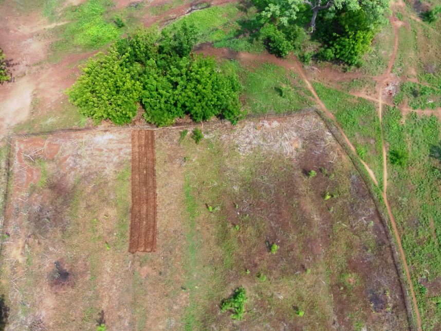
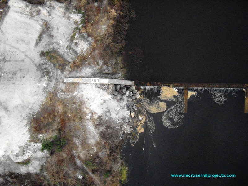
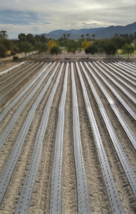
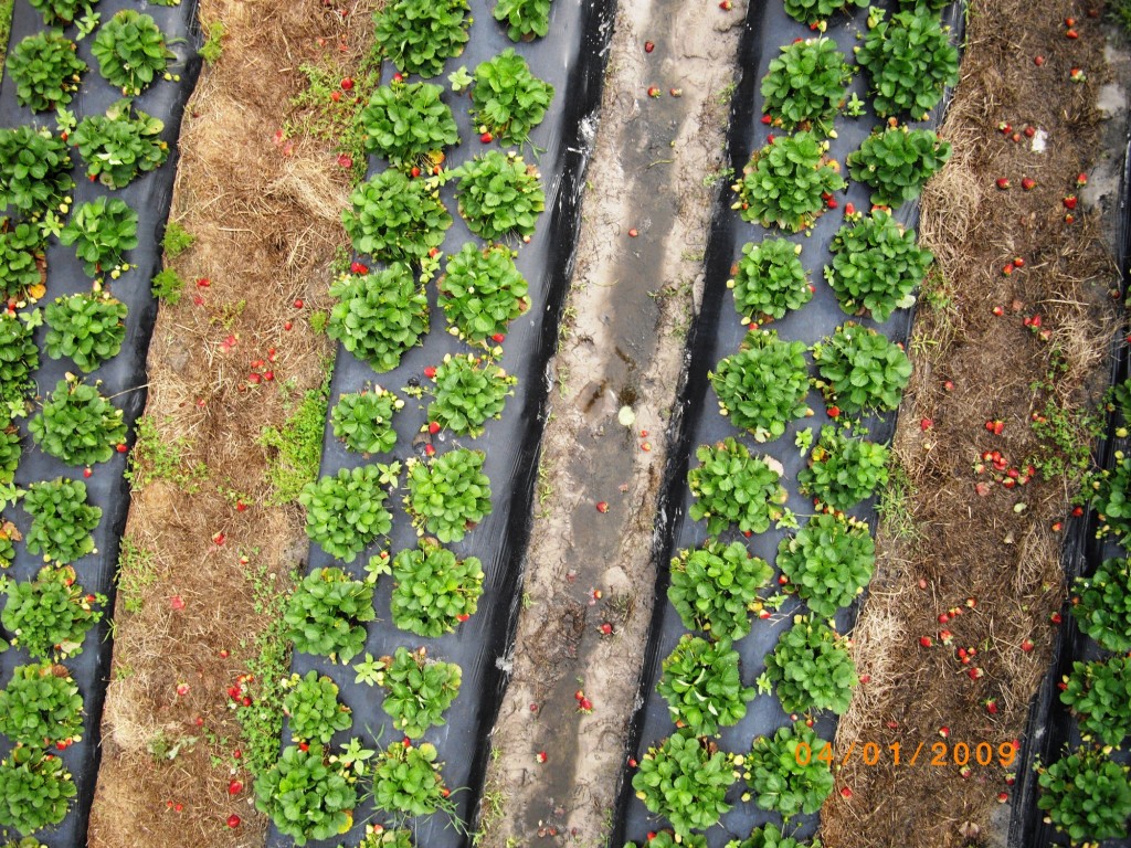
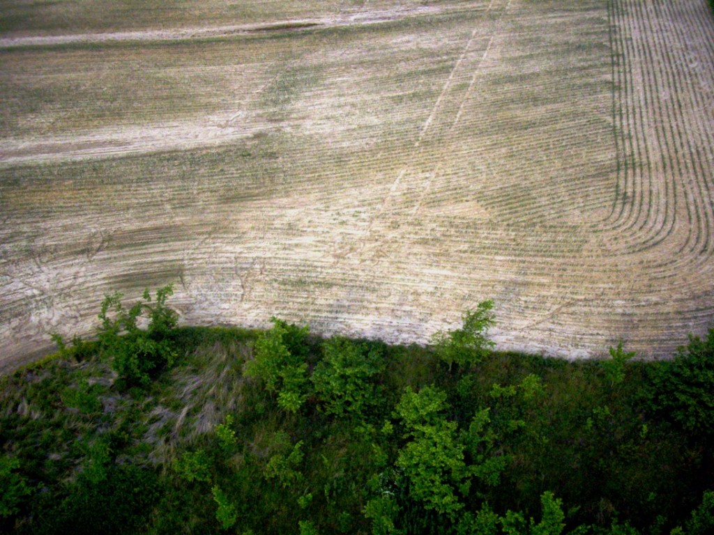
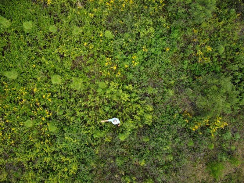
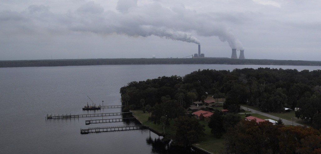
(Examples of aerial environmental monitoring)
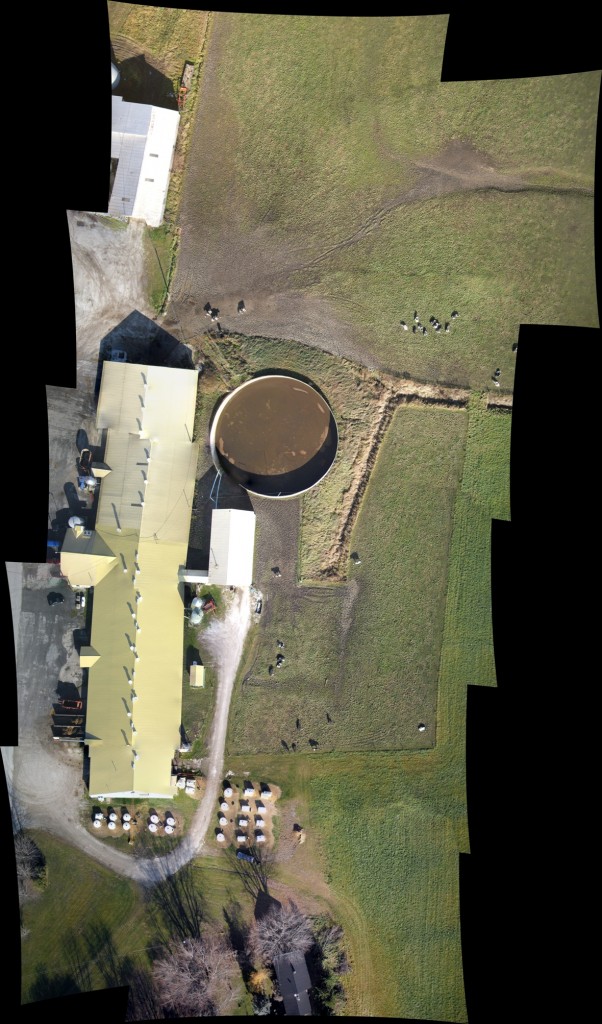
(Below is a 3D model we created of a dairy farm in Montreal, Canada)
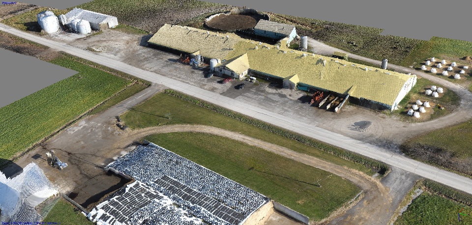
The usefulness of the imagery and models which can be generated from small uav photography and the V-Map system is evident from these examples showing how structures, feedlots, water, erosion and cattle, to name a few, can be monitored and consequent planning and decision making can quickly be determined. (The mosaic below was stitched on site prior to demobilization for preliminary image quality control.)
Below is a video we prepared from imagery taken in 2011 over White Sands, New Mexico. While we have since moved on with higher resolution cameras, digital modelling, and more cost effective solutions, from this early sample you can imagine how we can help you with your agricultural and environmental assessment and monitoring needs and challenges. Data can be integrated into GIS databases and can be used for post disaster assessments and insurance estimations. Be sure to contact us.