Post Disaster Assessment anywhere in the world with Micro Aerial Projects and the V-Map System
Whether struck by natural disasters such as earthquakes, flooding, fires or wind, or by man made disasters of pollution, spills or other damage, Micro Aerial Projects and the V-Map system can help you survey, map and model the extent of the damage so you can make immediate plans for recovery as well as prepare insurance estimations. A small UAV can maneuver at lower altitudes to safely have a close look at the extent of damage, search for survivors and facilitate on the spot decision making.
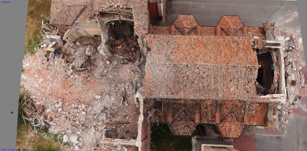
(3D model of earthquake damaged church in Mirabello, Italy)
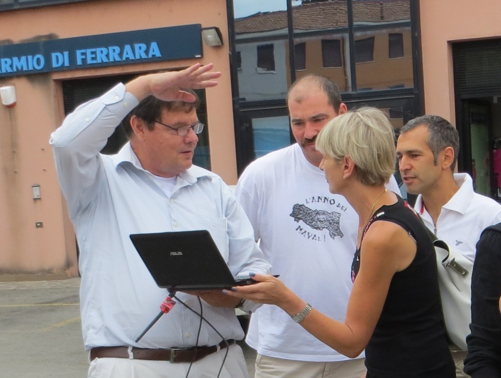
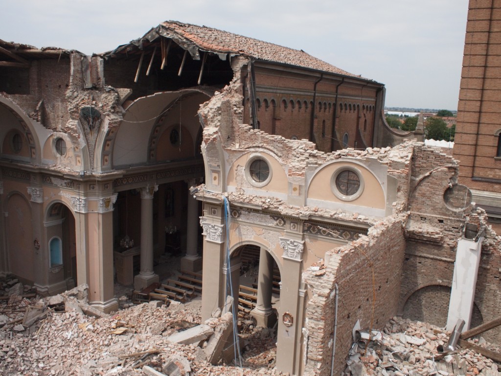
(Above: Left: extensive earthquake damage in Mirabello, Italy, deemed too hazardous and risky for any other means of close inspection than by small uav; Right: Walter discussing with the Mayoress of Mirabello ways the small uav can photograph different angles inside and outside the structure)
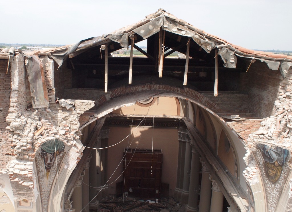
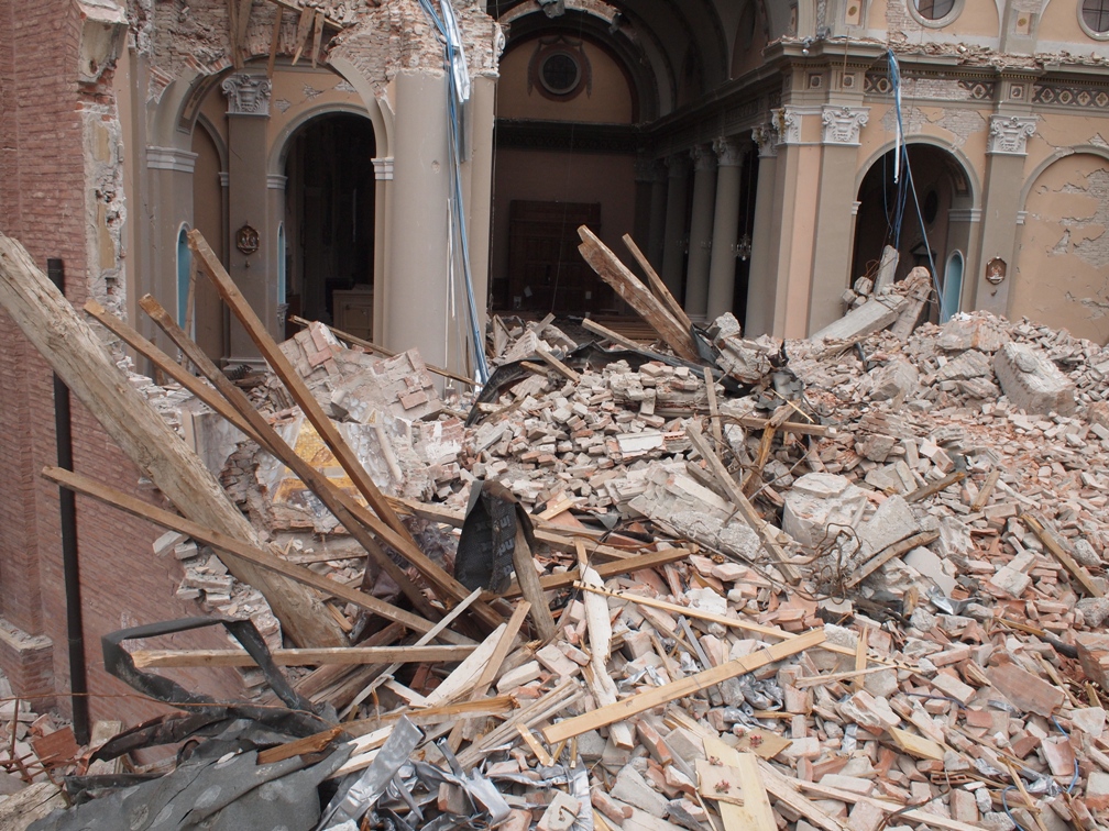
(Above: Left: one angle of the earthquake damaged church in Mirabello, Italy, as photographed by the small drone; Right: a closer look by the small UAV at the damage to the upper structure)
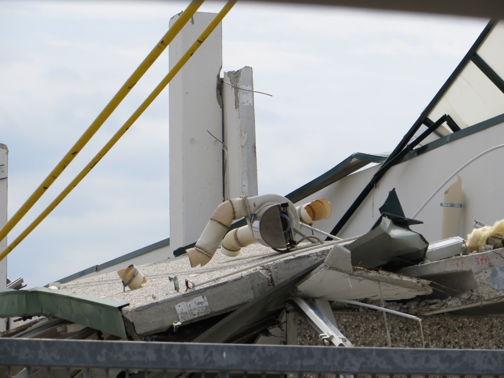
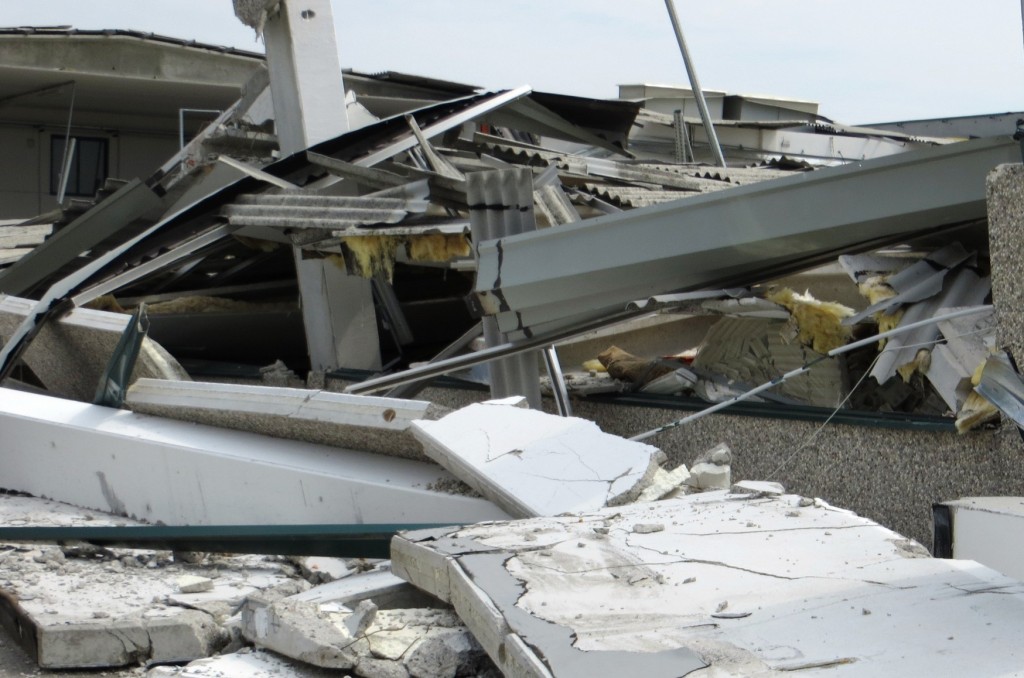
(Above: inspecting a collapsed building with a small drone/UAV)
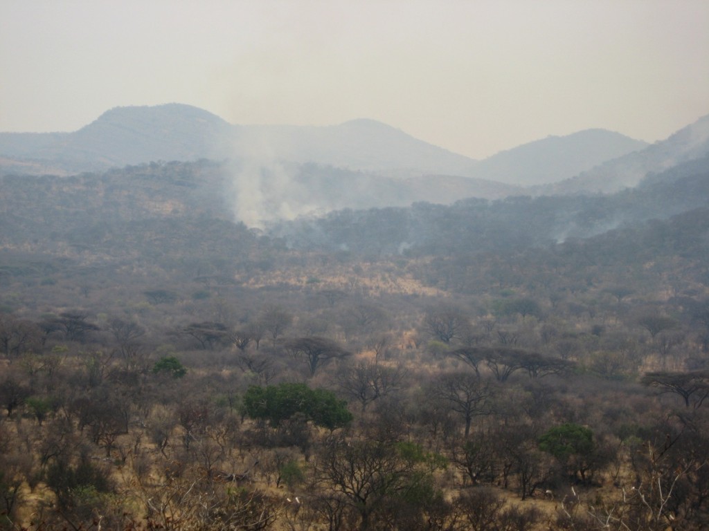
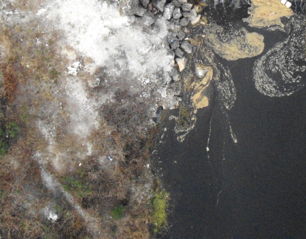
(Above: assessing damage from fire and pollution)
Need help with safe and immediate inspections and assessments? Contact Us