International Development Assistance anywhere in the world with Micro Aerial Projects and the V-Map System
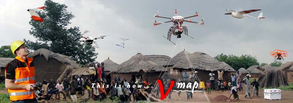
With experience in many countries on six of seven continents, Micro Aerial Projects is well positioned to help you efficiently and cost-effectively address your development needs around the world. With our V-Map system on-board small, portable and field repairable UAVs, we can carry out on-demand high accuracy surveying and mapping tasks and create 3D models of villages and cities, buildings, infrastructure and the land as well as detailed inspections. This information is vital in determining property rights and land ownership as well as in resettlement action plans.
Here are some videos from the Food and Agriculture Organization of the United Nations documenting how UAVs can be used for this very important application. The videos cover work we performed for the World Bank in Albania as part of the World Bank’s Innovation Grant. Click on the image to download and view the video.
*Click here for a link to the FAO September 2014 Newsletter where this information is hosted.
Project Management Video: Video for decision makers and project managers.
Technical Video: Video for potential UAS operators, such as private surveyors, local municipalities or other technical staff.
General Overview of the innovation UAS project in Albania: This video presents the project and key benefits.
Recorded e-learning session on UAS
We have highlighted two projects below.
ALBANIA:
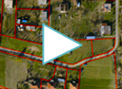
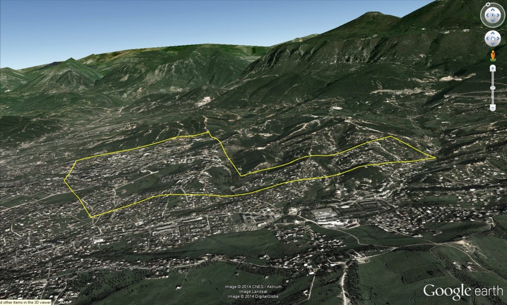
Below: 3D view on Google Earth of the delineation of a World Bank project we did in Albania.
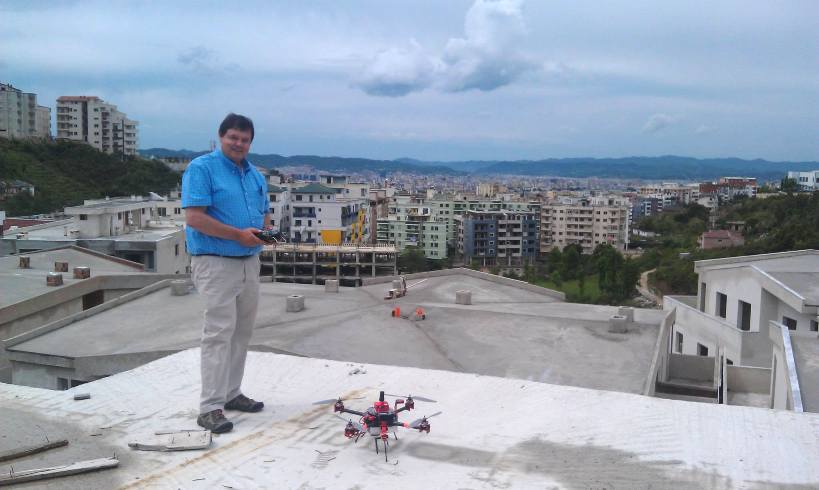
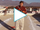
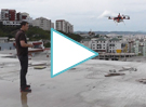
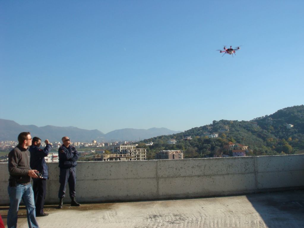
Above: left: Walter launching our small drone with the V-Map system from a rooftop in Tirana; Right: view of the density looking down from the small uav.
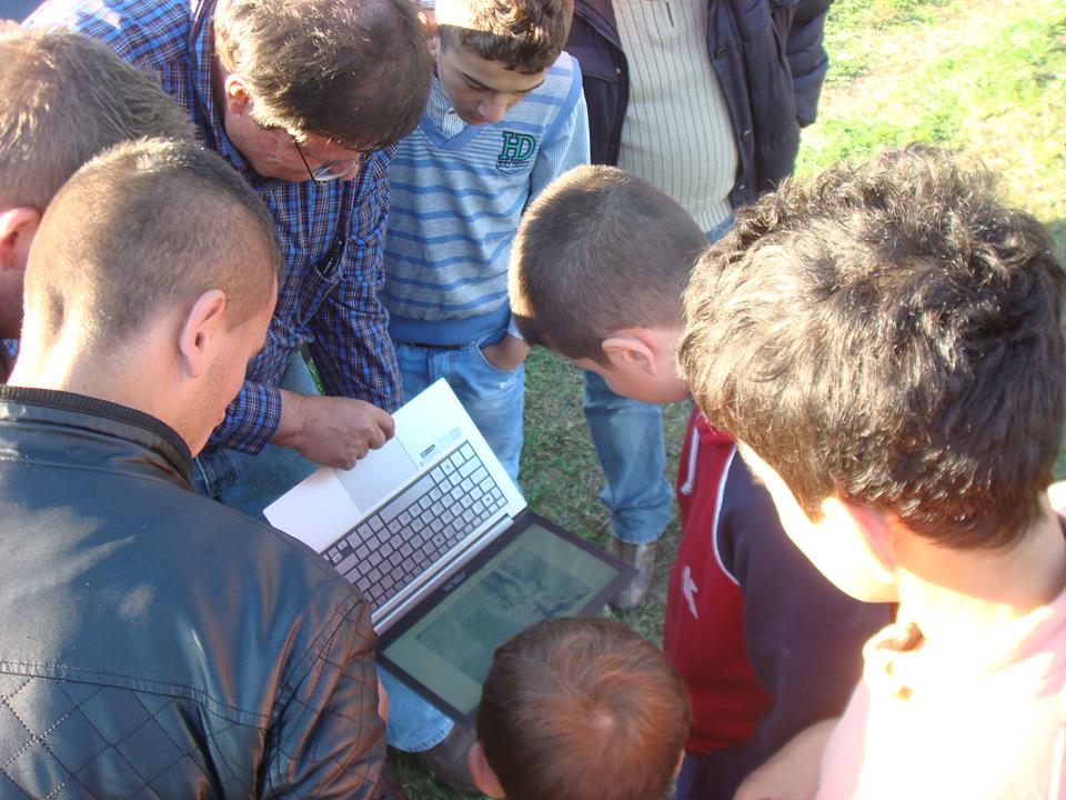
Above: Left: Oliver controlling the mapping process; Right: Walter explaining and showing the imagery to the community on the ground.
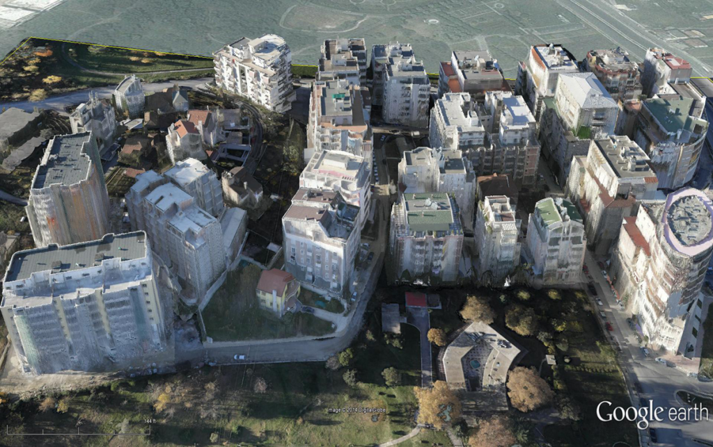
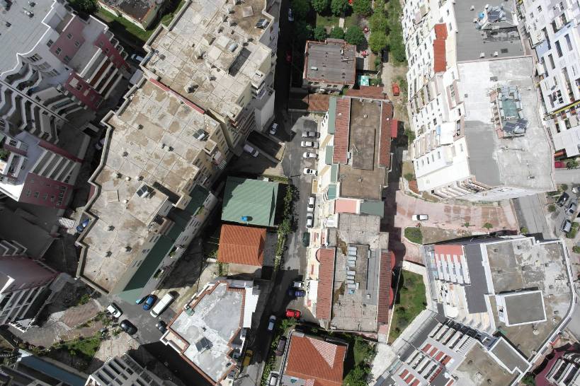
Above: an example of a 3D model created from our UAV photography and V-Map system. The model is superimposed on Google Earth.
GHANA:
Contact us to see how we can help you save on costs and time while efficiently conducting development projects around the world. We can help you modernize the operations of land and deeds registration, serving the needs of so many at the same time.
Land ownership is a vital issue around the world. With outdated maps or no maps at all, people cannot register property ownership, get loans to upgrade their property or even sell it legally to others. With our many years’ experience in land surveying and property registration around the world, we have devised methods which can save vast amounts of money and time in the process of land registration and administration while modernizing the method of registering deeds. Community involvement and participation is an important part of this process.
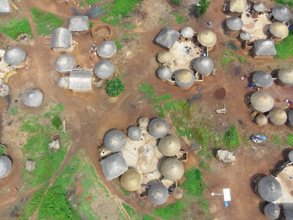
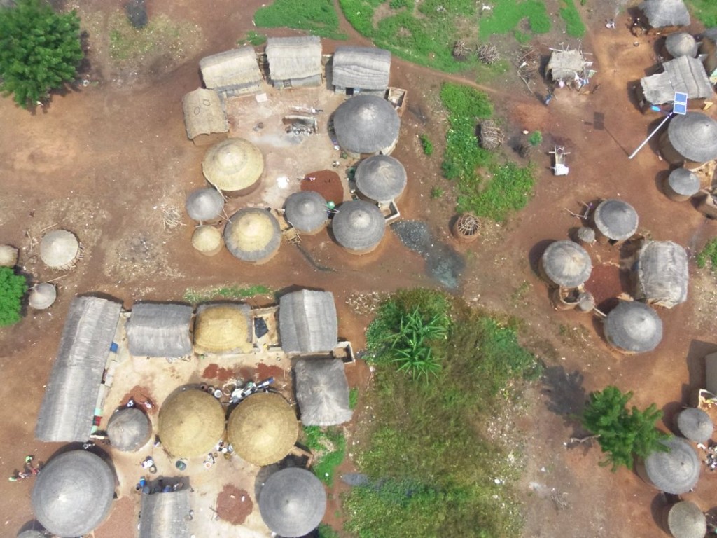
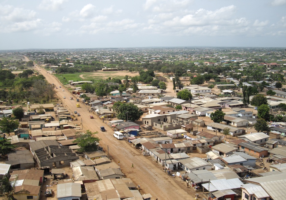
Above: two views of Tunayili Village in Ghana.
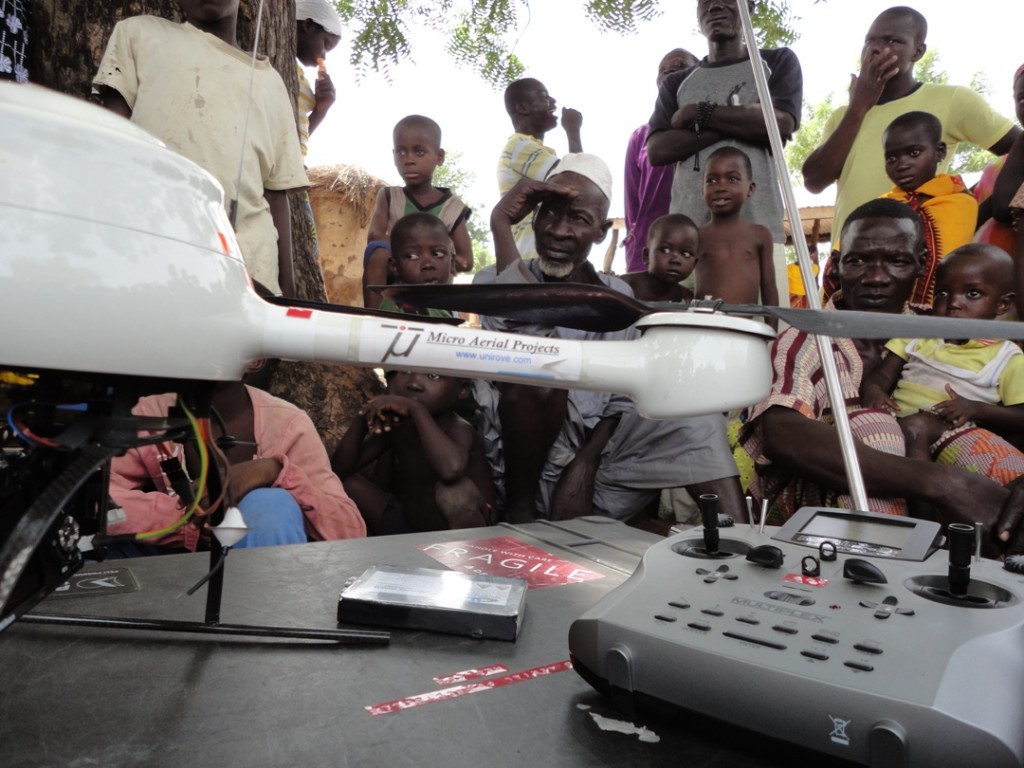
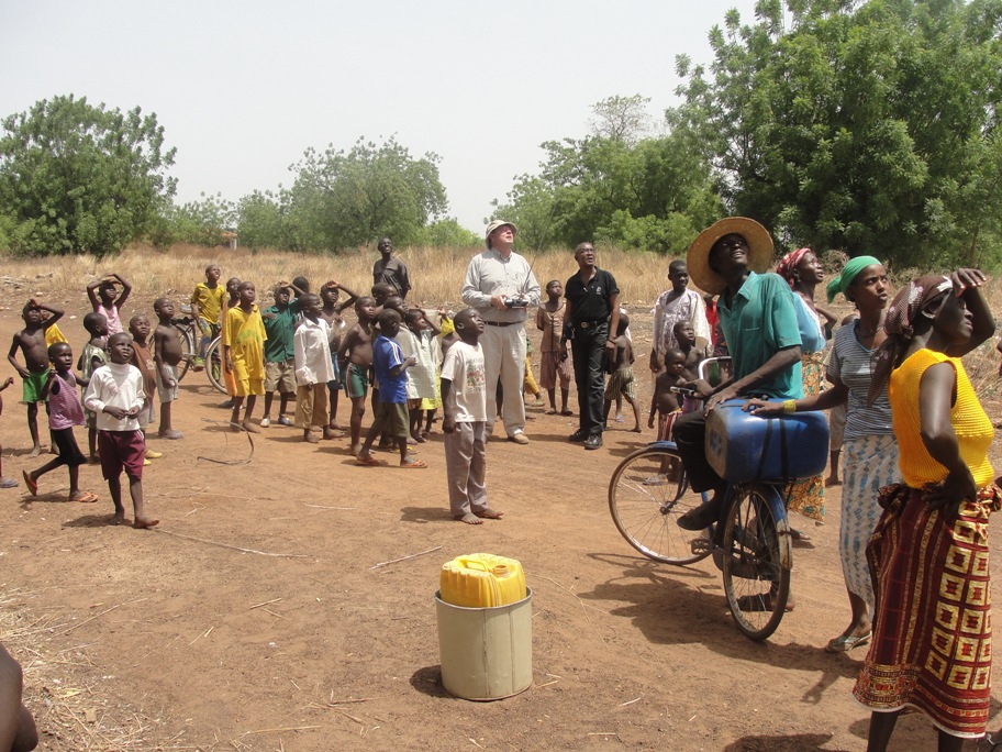
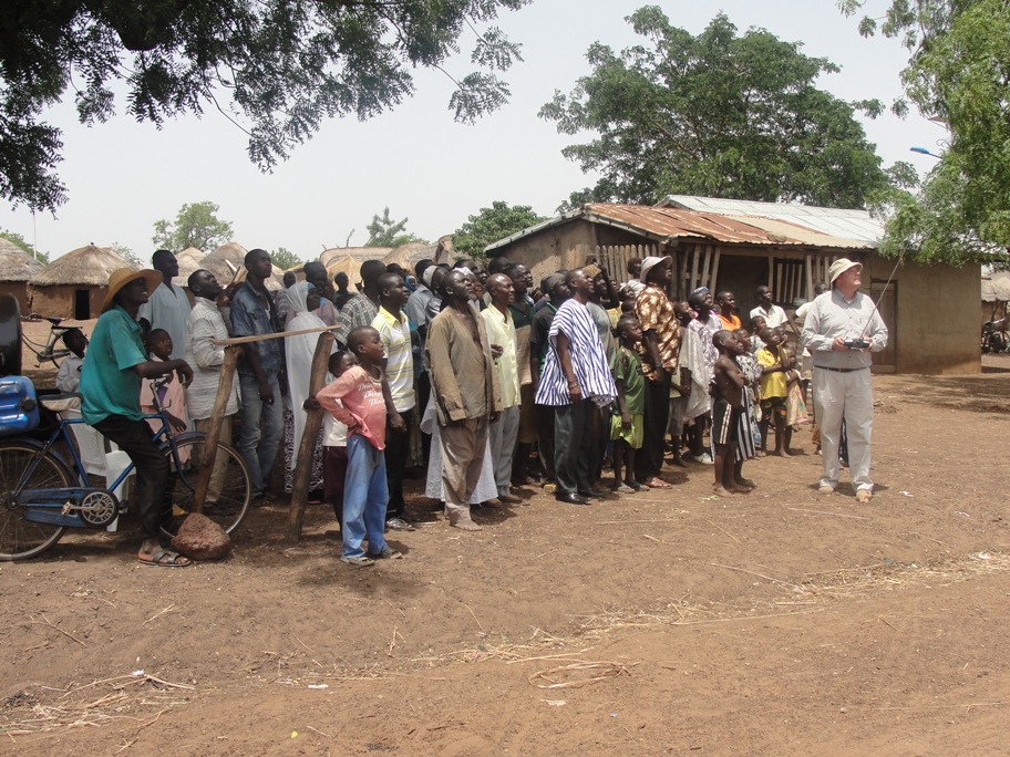
Above: showing a small UAV to the village, explaining to them what it can do to help them with their property registration and development needs, then conducting the live mission.
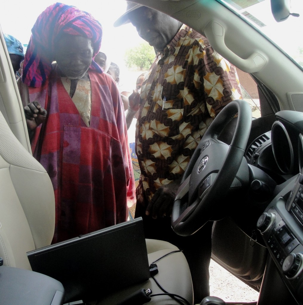

Above: Left: showing the chief and each of the villagers the live feed from the small drone; Right: the excitement the process generated!
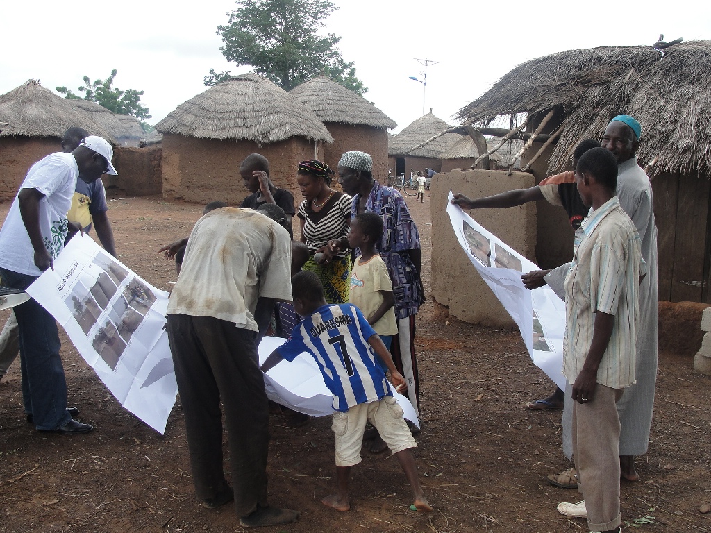
The entire community was excited and involved, helping identify from the photographs who was considered the owner of what piece of land and where its boundaries are. This is one example of how Micro Aerial Projects encourages citizen engagement when addressing property ownership.
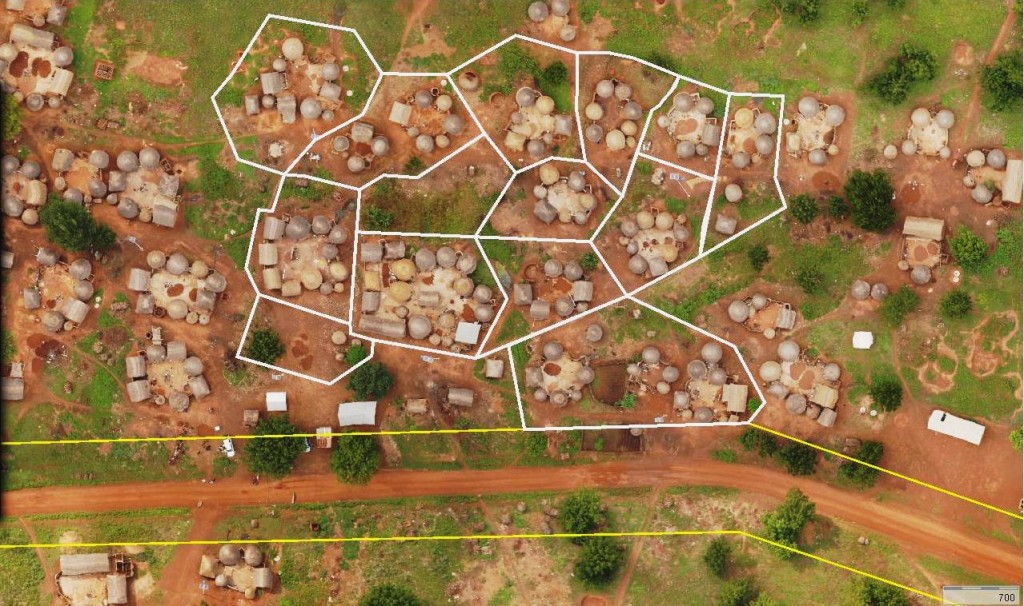
Above: an orthophoto of the village in GIS.