Micro Aerial Projects L.L.C. and drone2GIS Inc., (a licensed mapping company based in Gainesville Florida) have partnered over the past few months to assist the University of Florida’s Geomatics department with their UAS Certificate program. This collaboration brings both real world UAS mapping operation experience and decades of Surveying and Mapping experience to help educate future surveyors and mappers on the use of small drones for mapping. To see some of what we have done, please click on the following link: http://drone2gis.com/promoting-small-drone-mapping/

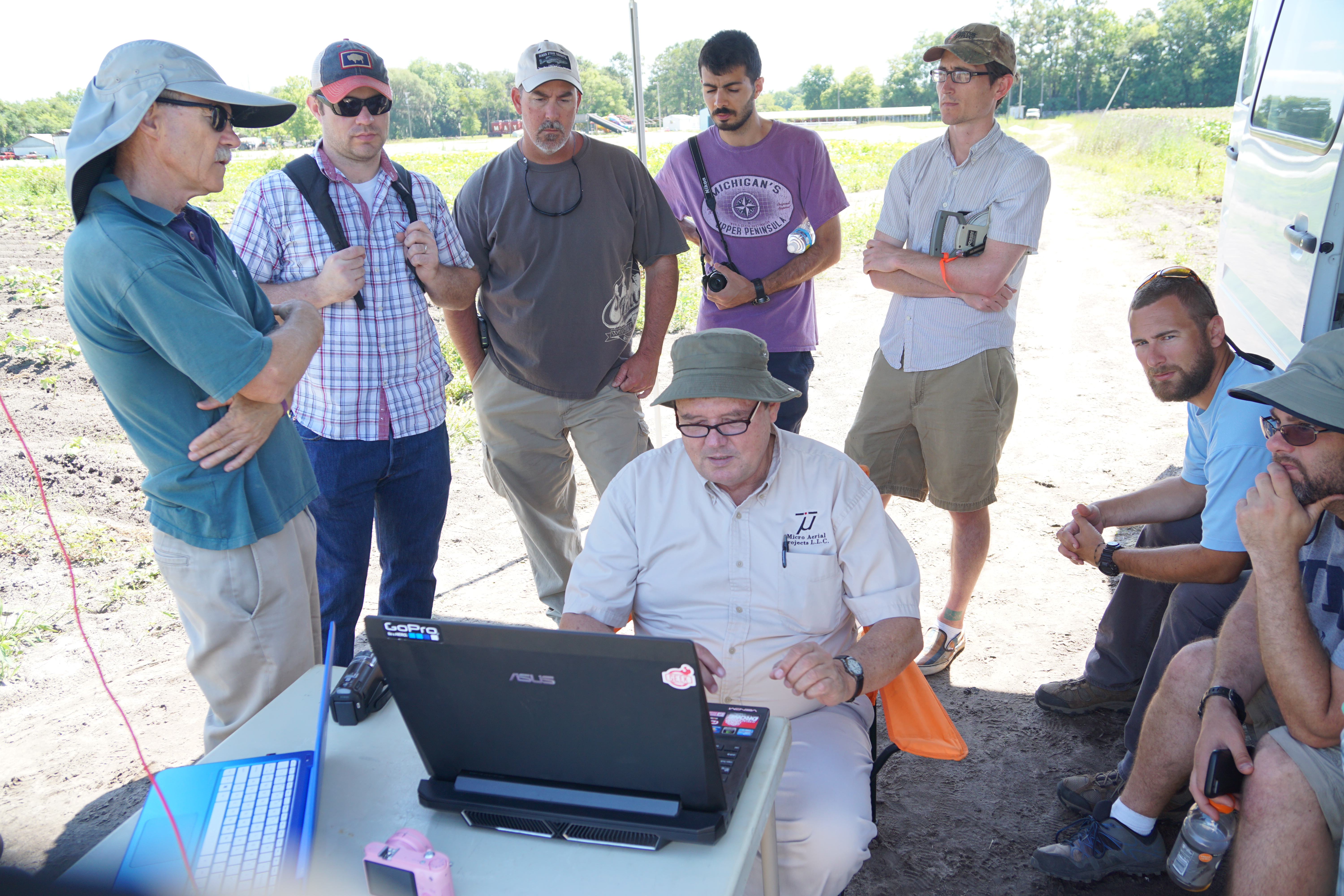
University of Florida Geomatics Department UAS Certificate Program students observing post flight image quality control procedures.
If you have not done so yet, please visit www.drone2GIS.com and subscribe for their newsletter! We are sure that you will be suitable impressed with the work that they do!