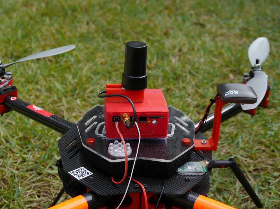
V-Map precise aerial mapping system shown on a QU4D
We have just delivered the first two units of the new 20Hz version of our V-Map precise aerial mapping system to a UAV mapping company in the USA. With dual frequency GPS observation rates as high as 20Hz, the V-Map system provides ultra-high accurate drone flight trajectories and camera exposure positioning. It weighs a mere 130g and is easily integrated on any small drone payload. Getting camera positioning down to cm level accuracy means you may not have to provide ground control for your accurate mapping projects, thus saving you thousands of $ every time you make a map. Interested in how it all works? Read the V-Map brochure and feel free to contact us.
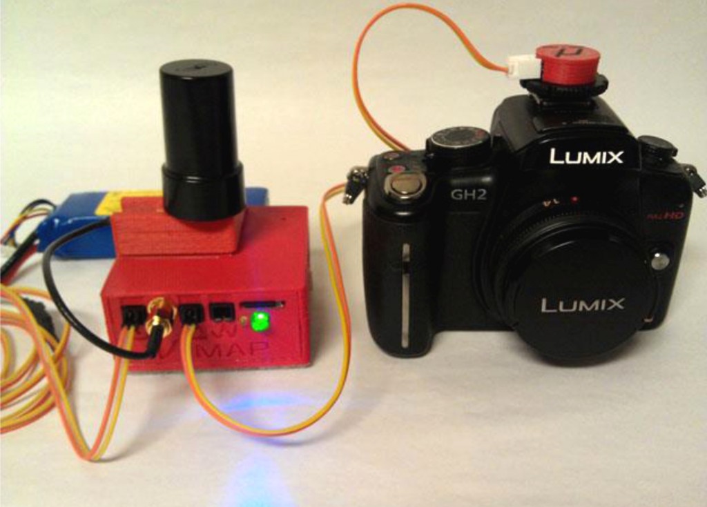
The V-Map precise aerial mapping system is platform independent, versatile and affordable.